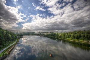
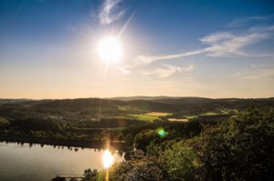
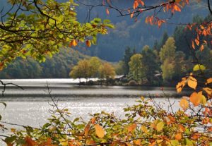
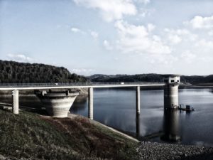
North Rhine-Westphalia is Germany's most populous state, with just under 18 million people. The state is not exactly famous for its lakes, but that should change, because these can be seen, even if they are mostly reservoirs.
Auch wenn diese Stauseen künstlich angelegt sind, hat sich darum im Laufe der Jahrzehnte eine wunderschöne Landschaft und einer erstaunlichen Artenvielfalt an Flora und Fauna gebildet. Außerdem haben Stauseen ihren ganz eigenen, urbanen Reiz mit vielen versteckten „Lost Places“.
During the Iron Lake Challenge North Rhine-Westphalia, you will walk around the ten largest lakes in North Rhine-Westphalia and get to know this beautiful federal state and its reservoirs better. You will cover between 160 and 180 kilometers (depending on the route you choose).
Rules
The rules for the Iron Lake Challenge "NRW" are very simple. Nevertheless, we would like to clarify them again at this point:
- Sign up for the Iron Lake Challenge NRW!
- To conquer this challenge and earn the beautiful collector's medal, you have to walk around the ten largest lakes in North Rhine-Westphalia after your registration.
- Bicycles, skates, etc. are not allowed, but you are welcome to hike or run.
- Each lake must be circumnavigated "in one piece". This means that you are welcome to take breaks, but you should complete the lake within one day. Of course, you can divide the 10 lakes into different days. Do only one lake per day, because you want to enjoy this time!
- You have as long as you want for the ten lakes. You don't have to go around them within a year. You should enjoy and not rush!
- We trust you that you have really circumnavigated the lakes. However, if you want to be included in the time ranking, we need a copy of your tracking. We don't care what you use (watch, smartphone or app).
General PLEASE NOTE!
- Please note that the Road Traffic Act applies in public traffic areas and along roads and cycle paths. So move considerately.
- You circumnavigate the lakes at your own risk and at your own risk. The operator of this website assumes no liability.
- Please heed medical advice if necessary or have a medical examination before the start of the Challenge. You are responsible for your own health, equipment and condition. Breaking off a tour is not a disgrace, health always comes first!

A few rules for dealing with nature during your lake tour:
- Please take into account the local instructions for the protection of nature.
- Please do not go off the trails.
- Please do not make noise.
- Please do not collect rocks or minerals.
- Please do not collect mushrooms.
- Please do not leave trash lying around.
- Please do not feed animals.
- Please do not make an open fire.
- Please do not pick plants.
This should be obvious to all of us, but it doesn't hurt to remember it from time to time.
Registration and scope of services
The entry fee for the Iron Lake Challenge NRW is 24,- EUR.
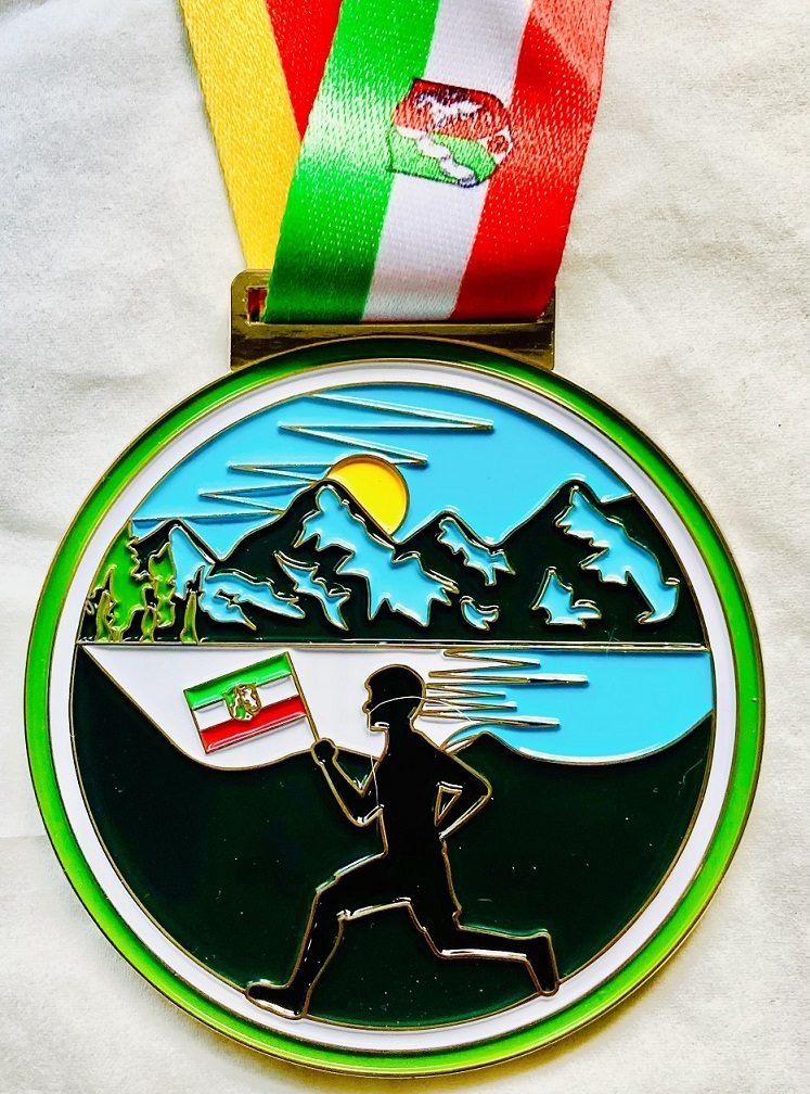
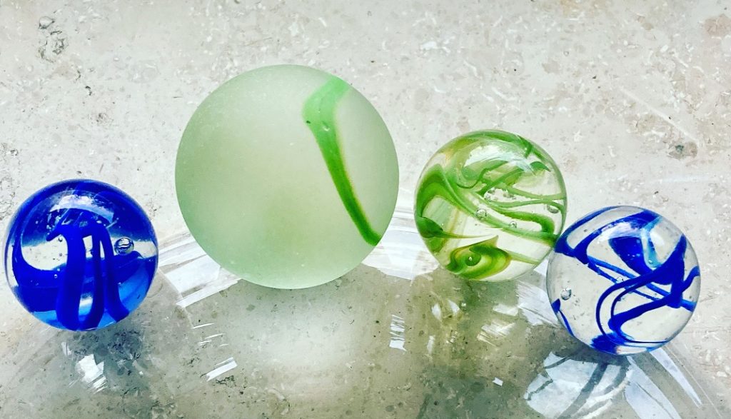
In this entry fee is our Iron Lake Challenge "North Rhine-Westphalia Edition" Collector's Medal and the green marble (20mm) of the Timeless Challenge .
However, for this you first have to go around the ten largest lakes in NRW! Only then we will send you the well-deserved medal and marble! After all, you want to earn them and not get them as a gift.
With your registration fee you support my heart project of the Reforestation of one million trees worldwide!
How to register:
- Please click on the logo and you will be redirected to the registration page of our partner Digistore24
- You will now receive a registration confirmation
- Now you have to walk around the ten largest lakes in North Rhine-Westphalia. As soon as you have completed them, please send us an excerpt of your tracking as proof.
- After we have checked this, you will receive your well-deserved medal and marble. Easy, isn't it?
Click on the picture to register for the Iron Lake Challenge North Rhine-Westphalia!
Your medal and your marble
If you have walked around the ten largest lakes in NRW, then you have earned the beautiful Iron Lake Challenge "North Rhine-Westphalia Edition" medal. This can be the first in your upcoming Iron Lake Challenge collection or can be added to your existing collection.
Life Score points and the Timeless marble
The Iron Lake Challenge is part of our Timeless Challenge. Therefore, you deserve (in addition to the collector's medal) the marble in green (health/sport). This will also be sent to you. The marble will have a diameter of 35mm.

You earn with your performance ca. 15 Life Score Punkte. These will be presented to both the Roll of honor North Rhine-Westphalia, as well as the Life Lake Museum credited. This service is free of charge for you.
The ten largest lakes in North Rhine-Westphalia
Möhnetalsperre (Möhnesee)
The Möhne Reservoir is a 930.7 hectare lake in the wonderful Möhne Valley region and a popular recreation spot for day trippers. The circumnavigation of the Möhne lake is about 37 kilometers long, so quite a challenge. But many barbecue sites, swimming spots and beautiful nature await you.
| Tour suggestions zur Umrundung de. Möhnetalsperre | Tour length | Einkehr- und Hotelvorschläge |
| Komoot: Umrundung Möhnesee Umrundung des Möhnesees nach Knotenpunkten | ca. 37km |  Hast Du ein regionales Unternehmen direkt an der Möhnetalsperre? Dann werde „OFFICIAL PARTNER |
Biggesee
In the middle of the Ebbegebirge Nature Park lies the Biggesee, a popular recreational area. Large areas of the lake shore (as well as the Gilberg Island) are protected. For the circumnavigation of the Biggesee you have to reckon with about 33 kilometers.
| Tour suggestions zur Umrundung des Biggesee | Tour length | Einkehr- und Hotelvorschläge |
| Bikemap – Rundfahrt Biggesee-Lister-Weg (etwas weiter) | ca. 33km |  Hast Du ein regionales Unternehmen direkt am Biggesee? Dann werde „OFFICIAL PARTNER |
Rurtalsperre (Rurtalstausee)
The Rur dam, built in 1938, dams up the Rur in the border area between the city region of Aachen and the district of Düren to form the 7.83 km² Rur reservoir. Depending on which tour you choose, between 25 and 43 (with the upper lake) kilometers await you.
| Tour suggestions zur Umrundung der Rurtalsperre | Tour length | Einkehr- und Hotelvorschläge |
| Alttrails – Rurtalsperre und Obersee Outdooractive – Um den Rursee (nur der Rursee) | ca. 25km |  Hast Du ein regionales Unternehmen direkt an der Rurtalsperre? Dann werde „OFFICIAL PARTNER |
Große Dhünntalsperre
The Great Dhünn Dam is fed by the Dhünn River and is the second largest drinking water dam in Germany after the Rappbode Dam. To go around it you have to calculate with about 24 kilometers.
| Tour suggestions zur Umrundung der Großen Dhünntalsperre | Tour length | Einkehr- und Hotelvorschläge |
| Rundweg Große Dhünntalsperre (empfohlen) Komoot: Radweg zur Umrundung der Großen Dhünntalsperre | ca. 25km |  Wir empfehlen Dir eine Einkehr im Pfannkuchen Haus Coenenmühle! Auf Dich warten raffinierte Gerichte und sehr nette Menschen! |
Sorpesee
Der südwestlich von Arnsberg gelegene Sorpestaudamm staut das Wasser der Sorpe zum Sorpesee, dem tiefsten Stausee im Sauerland. Doch der Sorpesee ist nicht nur tief, sondern auch groß. Die Umrundung startet meistens in der Ortschaft Amecke. Der Rundweg ist mit einem weißen „S“ im Kreis auf schwarzem Grund beschildert und beträgt in etwa 16 Kilometer.
| Tour suggestions zur Umrundung des Sorpesee | Tour length | Einkehr- und Hotelvorschläge |
| Bikemap: Umrundung des Sorpesees Outdooractive: „Rund um den Sorpesee“ | ca. 16km |  Hast Du ein regionales Unternehmen direkt an dem Sorpesee? Dann werde „OFFICIAL PARTNER |
Haltener Stausee
The Halten reservoir offers walkers or runners on its 10 km circular trail beautiful lake views as well as idyllic viewing and Resting places. Although its size is not overwhelming, it provides water for about one million people.
| Tour suggestions zur Umrundung des Haltener Stausee | Tour length | Einkehr- und Hotelvorschläge |
| Wanderwege-NRW: Um den Haltener Stausee Erlebe Haltern: Einmal rund um den Stausee | ca. 10km |  Hast Du ein regionales Unternehmen direkt an dem Haltener Stausee? Dann werde „OFFICIAL PARTNER |
Baldeneysee
Lake Baldeney was already dammed in 1931 as a water reservoir and for the purification of the Ruhr water, is as the largest of the Rur reservoirs today a recreational area for many people in the region. To walk around it you have to calculate with about 15 kilometers.
| Tour suggestions zur Umrundung des Baldeneysee | Tour length | Einkehr- und Hotelvorschläge |
| Komoot: Umrundung Baldeneysee Alltrails: Uferweg Baldeneysee | ca. 10km |  Hast Du ein regionales Unternehmen direkt an dem Baldeneysee? Dann werde „OFFICIAL PARTNER |
Urftsee
The Urft dam was already built from 1900 to 1905, which created the Urft reservoir, as the largest European reservoir at that time. It is located directly above the upper lake (main foreland of the Rur reservoir), and extends in the Eifel National Park, which is framed by the borders of the High Fens - Eifel Nature Park. For a circumnavigation of the Urftsee you have to reckon with about 12 kilometers.
| Tour suggestions zur Umrundung des Urftsee | Tour length | Einkehr- und Hotelvorschläge |
| Umrundung der Urfttalsperre (Google Maps) | ca. 12km |  Hast Du ein regionales Unternehmen direkt an dem Urftsee? Dann werde „OFFICIAL PARTNER |
Wuppertalsperre
Die Wupper-Talsperre wurde 1982 zum Zwecke der „Niedrigwasseraufhöhung, dem Hochwasserschutz der Wupper und der Wasserkrafterzeugung“ gebaut, doch die meisten Menschen nutzen sie heute in ihrer Freizeit als Naherholungsgebiet. Wanderwege, Rastplätze, Ferienhaussiedlungen und ein Bootshafen für Segel- und Ruderboote machen sie zu einem beliebten Magneten für Erholungssuchende. Wenn Du sie zu Fuß umrunden möchtest, dann musst Du ca. 11 Kilometer bewältigen.
| Tour suggestions zur Umrundung der Wuppertalsperre | Tour length | Einkehr- und Hotelvorschläge |
| Ich geh Wandern – Wuppertalsperre Rundweg Wupper-Runde (outdooractive) | ca. 11km |  Hast Du ein regionales Unternehmen direkt an der Wuppertalsperre? Dann werde „OFFICIAL PARTNER |
Wiehltalsperre
Surrounded by forest, the Wiehl dam is a natural paradise, rich in water, forest and hiking trails. A round trip means walking about 20 kilometers. However, we know that some paths are closed. So far, we have only found the extensive circuit (33 km) as a tour.
| Tour suggestions zur Umrundung der Wiehltalsperre | Tour length | Einkehr- und Hotelvorschläge |
| GPX Tour - Mountain bike circumnavigation Wiehltalsperre Rundweg Wiehltalsperre Rundweg Wiehltalsperre Komoot | ca. 20km |  Hast Du ein regionales Unternehmen direkt an der Wiehltalsperre? Dann werde „OFFICIAL PARTNER |
NRW25
If you have successfully circumnavigated the ten largest lakes in North Rhine-Westphalia, enjoyed the Iron Lake Challenge and would like to continue, then we have good news for you. The Iron Lake Challenge North Rhine-Westphalia is now available in the Edition „NRW25“! Another 15 beautiful NRW lakes are waiting to be circumnavigated on foot by you! And the new collector's medal of the Iron Lake Challenge is waiting in the Edition „NRW25“ !
Rules
Auch für die Iron Lake Challenge in der Edition „NRW25“ gelten die rules already known. However, it probably makes sense for you to have first circumnavigated the ten largest lakes in North Rhine-Westphalia and thus completed the Iron Lake Challenge North Rhine-Westphalia. But of course you can also register for both at the same time (if you want to save on travel distance, for example).
REGISTRATION AND SCOPE OF SERVICES
Registration for the Iron Lake Challenge NRW25 costs you 24,- EUR.
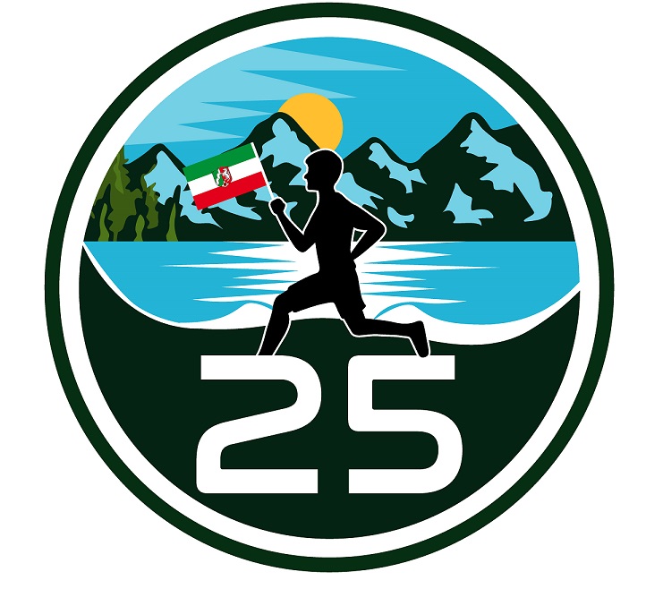
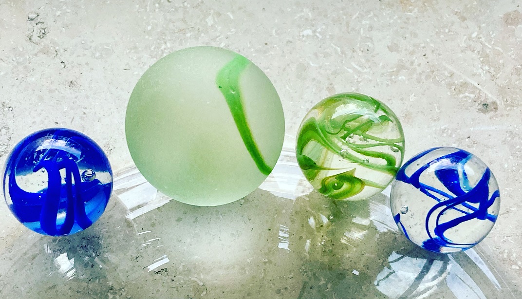
In this entry fee is our Iron Lake Challenge “NRW25” Sammlermedaille and the green marble (20mm) of the Timeless Challenge included
However, for this you must first have circumnavigated lakes 11 to 25 (see below) in NRW. Only then we will send you the well-deserved medal and marble! After all, you want to earn them and not get them as a gift.
With your registration fee you support my heart project of the Reforestation of one million trees worldwide!
How to register:
- Please click on the logo and you will be redirected to the registration page of our partner Digistore24
- You will now receive a registration confirmation
- Now you have to walk around the 15 named lakes in North Rhine-Westphalia. As soon as you have completed them, please send us an extract of your tracking as proof.
- After we have checked this, you will receive your well-deserved medal and marble. Easy, isn't it?
YOUR MEDAL AND YOUR MARBLE
If you have also circumnavigated these 15 NRW lakes on foot, then you have earned the beautiful Iron Lake Challenge "NRW25" medal. This complements the medal you have already received for the ten largest lakes in NRW.
 |  |
LIFE SCORE POINTS AND THE TIMELESS MARBLE
The Iron Lake Challenge is part of our Timeless Challenge. Therefore, you deserve (in addition to the collector's medal) the marble in green (health/sport). This will also be sent to you. The marble will have a diameter of 20mm.

It goes without saying that your performance will earn you ca. 20 Life Score Points. These will be presented to both the Roll of honor North Rhine-Westphalia, as well as the Life Lake Museum credited. This service is free of charge for you.
The NRW lakes 11 to 25
Ursprünglich hatten wir die Kerspetalsperre ebenfalls in unserer Liste. Nach negativem Feedback (lange Passagen auf vielbefahrener Straße etc.) haben wir sie durch die Neyetalsperre ersetzt.
Hennesee
The Hennetalsperre dam and the resulting Hennesee lake are located in the Sauerland Rothaargebirge nature park, near the town of Meschede. There are two large, free bathing areas at the dam. The bathing bay or Berghauser Bay in the north-west of the lake opposite the dam wall is mainly used by locals and day visitors.
The dam is very popular with hikers, as it can be completely circumnavigated. On the eastern side, the hike can be interrupted with a visit to the Sinne Trail. The circumnavigation of Lake Henne on foot is approx. 15 kilometers long
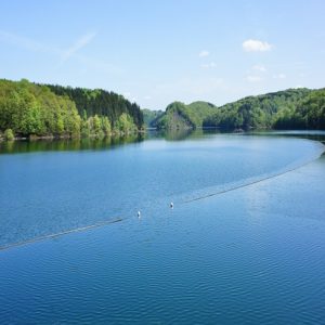
Tour recommendations for circumnavigating Lake Henne:
Wahnbachtalsperre
The Wahnbach dam is fed by the Wahnbach stream of the same name and is located in Siegburg-Seligenthal. It is used to supply drinking water. The Wahnbach dam is an ideal excursion destination for walkers (parking spaces are available). It is located near the former Seligenthal monastery. You have to walk about 24 kilometers to walk around it.
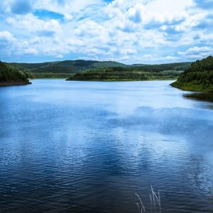
Tour recommendations for the circumnavigation of the Wahnbach dam:
Versesee
The Versetalsperre is located in the Märkischer Kreis, on the western edge of the Nature parks Sauerland-Rothaargebirge. It lies between hilly and wooded areas and is popular with those seeking relaxation. You have to walk about 11 kilometers to get around it.
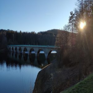
Tour recommendations for circumnavigating Lake Versesee:
Auesee
The Auesee was once formed by gravel excavations and is quite large with an area of 1.81 square kilometers. It is one of the cleanest lakes in North Rhine-Westphalia. While rare birds breed on the bird island in it, you can even see crabs in the lake. Its circular hiking trail is around 13 kilometers long, depending on the tour you choose.
Tour recommendations for circumnavigating the Auesee:
Aabachsee
The Aabachtalsperre is located near the border with Hesse and was built as a drinking water reservoir. The entire area is designated as a water protection area, which is why the use of the lake for water sports has been severely restricted. The dam is located in a natural landscape and has little tourist development; there are no settlements directly on the reservoir. A walk around the reservoir is about 8 kilometers long.
Tour recommendations for the circumnavigation of the Aabachtalsperre:
Wehebachtalsperre
The Wehebach dam is located between Hürtgenwald and Stolberg (Rhineland), near Aachen. The Wehebachtalsperre reservoir has three arms. Only hiking and cycling are permitted as leisure activities, as the lake is not approved for water sports due to its nature as a drinking water reservoir. However, it is ideal for hiking and running. Depending on the tour you choose, you can expect to walk between 15 and 23 kilometers around the lake.
Tour recommendations for the circumnavigation of the Wehebach dam:
Aggertalsperre
The Aggertalsperre reservoir in Oberbergisches Land is located between the towns of Gummersbach, Bergneustadt and Meinerzhagen. With its wide range of leisure activities, it is popular with visitors from all over the region. The leisure facilities include numerous hiking trails, rest areas, a youth campsite and a marina for sailing and rowing boats. If you want to walk around the Aggertalsperre, you have to cover a distance of approx. 13.5 kilometers.
Route recommendations for circumnavigating the Aggertalsperre:
Diersfordter Waldsee
The Diersfordter Waldsee is a quarry pond in the Diersfordt district of Wesel. Even though this lake is already quite large, gravel will continue to be extracted until around 2030, further enlarging the lake. The lake is used both as a local recreation area and for tourism. A walk around the lake will cost you about 10 kilometers.
Route recommendations for circumnavigating the Diersfordter Waldsee
Hullerner Stausee
The Hullern dam (Hullerner See) in the district of Recklinghausen. The resulting, idyllically situated lake is the stillen Erholung reserved for walkers and cyclists. A circular trail with tranquil vantage points and a length of approx. 11.5 km offers impressive views of the lake.
Route recommendations for circumnavigating the Hullern reservoir:
Neyetalsperre
Die Neyetalsperre liegt im Norden der Stadt Wipperfürth bei der Ortschaft Neye im Oberbergischen Kreis. mit der Bever-Talsperre, der Schevelinger Talsperre und dem Mühlenteich Wasserfuhr über Stollen verbunden und bildet mit ihnen gemeinsam den Bever-Block. Mit der Eschbachtalsperre ist sie über eine 15 km lange Rohrleitung verbunden. Seit Anfang Mai 2013 steht die Neyetalsperre und ein Teil des Einzugsgebietes unter Naturschutz. Der Rundweg ist ca. 11,3 Kilometer lang.

Tourenvorschläge zur Umrundung der Neyetalsperre:
Harkortsee
Lake Harkort is located between the towns of Hagen, Herdecke and Wetter and is also a reservoir. Wetter Castle and the Werdringen moated castle are located directly on the shores. Due to its importance for species, nature and landscape conservation, both the lake surface and the shore areas of Lake Harkort are protected. It takes about 10 kilometers to walk around the lake.
Route recommendations for circumnavigating Lake Harkort:
Hengsteysee
The Hengsteysee is a reservoir in the course of the Ruhr between the cities of Hagen, Dortmund and Herdecke. The lake begins in the course of the Ruhr at about the level of the Syburg Ruhr bridge, a good kilometer below the mouth of the Lenne, and ends at the weir. Today, the lake is mainly used for recreational purposes. There is a footpath and cycle path around the lake (approx. 8.5 km).
Route recommendations for circumnavigating the Hengsteysee:
Sengbachtalsperre
Die Sengbachtalsperre ist eine der ältesten, deutschen Talsperren zur Trinkwasserversorgung und liegt in einem abgeschiedenen Seitental der Wupper. Um sie herum führt ein wunderbarer Rundweg der Dich durch eine schöne Natur führt und das Herz höherschlagen lässt. Dabei umrundest Du ca. 10,8 Kilometer.
Tourempfehlungen zur Umrundung der Sengbachtalsperre:
Kemnader See
Lake Kemnader is located between Bochum, Hattingen and Witten. It is the youngest of the six Ruhr reservoirs. The lake is popular with many people seeking relaxation. However, you should not drink the water as there are bacteria in the mud of the lake. A walk around the lake is about 8 kilometers long.
Route recommendations for circumnavigating Lake Kemnade:
Bevertalsperre
The Bevertalsperre is a reservoir in the Oberberg district. It is largely located in the town of Hückeswagen. The Bevertalsperre can be hiked around in 3-4 hours on the 15 km long Bever circular trail. However, water sports are also very popular with recreationists at this lake.
Route recommendations for circumnavigating the Bevertalsperre:
The Iron Lake Challenge on social media
Join our forum
Exchange ideas in our community! Our forum for experiences, reports, questions and more

We would be happy if you share pictures, videos and your experiences around the Iron Lake Challenge with others. For this purpose we provide you with the following hashtags:
- #ironlakechallenge
- #ironlakechallengenrw
- #timelesschallenge
Mach mit in unserem Forum!
Tausch Dich mit anderen rund um die Iron Lake Challenge NRW in unserem Forum aus.
The Iron Lake Challenge on Facebook
Of course we also invite you to join our Facebook group "Iron Lake Challenge Discussion Board".
IRON LAKE CHALLENGE NRW HONOR ROLL
Here you can upload your results of the Iron Lake Challenge NRW and of the Iron Lake Challenge NRW25 quickly and easily and upload the proof (e.g. a screenshot of your tracking). We will check it and approve it. Your result will then be saved and appear on the honor roll.
Instructions for the Challenge Tool
This is how our honor board works
- Register on our site
- Select the lake you are circumnavigating under "Summit/Lake
- Enter the distance you have covered (in meters) under "Length / Mountain height (in m)"
- Enter the required time (in minutes) under "Time needed (in min).
- Enter the date of your circumnavigation under "date"
- Now you can upload the evidence (e.g. a screenshot of your tracking) under "Upload proof (optional)"
- Now all you have to do is SAVE!
- We check your round and release it. Then you will see your result in the ranking.
Points
Timeless Shop
In unserem Timeless Shop findest Du auch für die Iron Lake Challenge tolle Produkte. Schau mal rein! Produkte mit folgenden Designs können wir Dir derzeit anbieten:
 | Wir haben uns erlaubt ein paar Produkte in unserem Shop anzubieten und hoffen, sie gefallen Dir! |
Darf es noch etwas mehr sein?
 | Iron Lake WORLD Challenge! Hier zählen alle Seen weltweit, sobald die Uferlänge länger als 2 Kilometer ist. |
IMPRINT
51 comments
Leave a Reply
You must be logged in to post a comment.
Hallo Ihr Lieben,
die challenge ist spitze.
Ich werde zeitnah über komoot touren um die seen planen und veröffentlichen.
Herzliche Grüße,
Romanus Lüke
Hallo Roman,
vielen, vielen Dank für das Angebot. Das wäre natürlich sehr, sehr hilfreich!
Aktuelle Routen aus persönlicher Erfahrung sind unheimlich wertvoll für alle.
Wir freuen uns schon sehr und nehmen diese Empfehlungen gerne auch direkt auf der Website auf.
Viele Grüße,
Uwe
Das ist eine super Idee
Es freut uns, dass sie Dir gefällt!
Hallo, bis du mit komoot den Biggesee gewandert. Bin unsicher welche Route km auch zählen für die Challenge.
Danke für eine Rückmeldung
Nicol
Wie funktioniert die „Ehrentafel“? Diesen Punkt finde ich erst gar nicht: „Wähle den von Dir umrundeten See unter “Summit/Lake” aus“
Hallo Claudia,
die Ehrentafel ist so gedacht, dass alle Teilnehmer (die das gerne möchten) sich auf der Website registrieren können und dort ihre bereits umrundeten Seen erfassen können. Für alle umrundeten Seen gibt es „Life-Score-Points“. Ein See mit einer Länge von >10km gibt 1 Punkt, >20km 2 Punkte etc.
Wenn Du Dich eingetragen möchtest, dann müsstest Du Dich erst registrieren (https://rockyourgoal.de/wb-admin/?action=register), die Seite neu Laden und dann kannst Du Deine Seen eingeben. Wenn Du Hilfe brauchst, helfen wir natürlich sehr gerne.
Viele Grüße,
Uwe
Hallo, ich finde diese Challenge echt Klasse. Müssen die Seen in der aufgezählten Reihenfolge gewandert werden oder kann ich die Reihenfolge selbst planen.
Nein. Du kannst die Reihenfolge frei wählen 👍
Freue mich auf diese Challenge – vermisse aber „meine“ Sengbachtalsperre 😉
Hallo Peter,
ich habe mir die Bilder der Sengbachtalsperre angeschaut und die ist wirklich sehr schön und gehört ja zu den ersten Talsperren und hat richtig Charme. Aber laut Statista ist sie leider nicht groß genug für die „Top10“ in NRW.
Trotzdem ein „Geheimtip“, denke ich.
Viele Grüße,
Uwe
wie kommt ihr denn auf ca. 130 Kilometer? Das ist doch falsch! Wenn ich eure o.a. Kilometerzähler addiere, komme ich auf mindestes 193 Kilometer.
Hallo Markus,
Du hast vollkommen Recht. Wir haben uns da verzählt 🙂 Ist angepasst.
Danke für Deinen Hinweis,
Uwe
Hallo, die Tourenvorschläge sind doch wirklich nur Vorschläge, oder? Man kann auch selbst Routen finden?
Hi Claudia,
selbstverständlich. Es ist eigentlich sogar schöner, wenn man eigene Routen findet. Etwas Abenteuer darf schon dabei sein 😉
Viele sportliche Grüße,
Uwe
Hallo,
Ich habe schon mal die Möhneseerunde hinter mir gebracht. War sehr schön an diesem Tag.
Freue mich auf die anderen Touren bzw Seen die kenne ich teilweise gar nicht.
Freut mich sehr zu lesen 😍
Viel Spaß auch weiterhin 👍
Könntest du den Track wohl bereitstellen? irgendwie finden wir nur Fahrradrouten? Würden uns freuen, wenn es auch eine echte Umrundung zu Fuß gäbe.
Kann ich auch für 2 Personen gleichzeitig mich anmelden? Oder muss jeder sich separat anmelden?
Du kannst Dich zwar mit einer Emailadresse und den richtigen Namen anmelden, aber das muss leider einzeln erfolgen.
Viele sportliche Grüße,
Uwe
Wohin schicke ich denn die Trackings?
Hallo Martina,
ich habe mir erlaubt die Frage in unseren faq´s zu beantworten, da sie häufiger gestellt wird. Danke dafür.
L.G.
Uwe
Hallo Ihr Iron Lake Wanderer,
ich habe als letzte Tour die Wiehltalsperre anstehen, die mit ca. 10 Km angegeben ist. Ich habe aber trotz mehrmaliger Suche keinen Link für eine solche Wanderung gefunden, sondern nur Touren mit wesentlich mehr Kilometern. Hat einer von euch einen Tipp bzw. einen link für diese Tour? Danke für eure Hilfe im Voraus
Hallo Volker,
auf unserer Seite haben wir zwei Links hierzu: https://rockyourgoal.de/iron-lake-challenge/germany/nordrhein-westfalen/#Wiehltalsperre
Aber Du kannst Dich auch an die Community in unserer Facebook-Gruppe wenden. Dort sind zahlreiche Leute die die Wiehltalsperre bereits umrundet haben.
Viele sportliche Grüße,
Uwe
Hallo. Ich wohne in der Nähe der Wiehltalsperre und habe diese schon mehrfach mit dem Fahrrad und vor kurzem auch zu Fuss umrundet. Ich kann mir nicht vorstellen wie man da mit 10km hinkommen soll.
Ich habe die Tour selber mit komoot geplant und versucht die Wege so nah wie möglich an den See zu legen. Man kommt auf ca. 25km wenn man NICHT die verbotenen Wege direkt am See entlang geht. Das betreten der Ufer ist streng genommen verboten und da hab ich mich auch dran gehalten.
Coole Challenge übrigens. 🙂
Hallo Viktor,
Du hast natürlich vollkommen Recht. Wir hatten von Anfang an geschrieben, dass der offene Weg ca. 30 Kilometer lang ist. Gesperrte Strecken sollen natürlich nicht verwendet werden, das ist nicht Sinn der Sache.
Viele Grüße,
Uwe
Hallo Uwe!
Ich würde gerne bei manchen Seen mehr km wandern bzw. die Umrundung ausdehnen. Wie wird das gewertet?
Z.B. Wahnbachtalsperre ist ca 8 bis 10 km . Ich würde da den ein oder anderen Schlenker machen und laufe dann mehr km und bin später wieder am Ausgangspunkt. Der See ist aber dann umrundet. Wie wird das gewertet?
VG Claudia
Hallo Claudia,
das ist überhaupt kein Problem. Die Seen müssen vollständig umrundet werden. Die Länge der Strecke ist dabei unerheblich. Ganz im Gegenteil! Je länger die Strecke ist, desto mehr Life-Score-Points werden Dir gutgeschrieben. Für jede, angefangene 10.000 Meter gibt es einen Life-Score-Point.
L.G und viel Freude an den Ufern und darüber hinaus,
Uwe
Euer Tourenvorschlag bei der Urftalsperre ist eine Streckenwanderung auf nur einer Uferseite. Das zählt trotzdem als „Umrundung“? 🤔
Hallo Claudi,
vielen Dank für Deine Aufmerksamkeit. Ich habe zwischenzeitlich eine neue Route geplant (Google Maps), aber ich glaube, dass wir in unserer Facebook-Gruppe schon viele Routen zur Umrundung haben.
Viele liebe Grüße,
Uwe
Hallo, die Umrundung um die Wuppertalsperre (an deren Staumauer ich wohne) hat aber knapp 30km. Eine Runde mit 10km erhält man, wenn man im oberen Drittel über die Autobrücke geht. Umrundet ist sie dann aber nicht 🙂
Da hast Du natürlich absolut Recht. Eine Umrundung bei einem Stausee ist allerdings oft schwer zu beurteilen. Je nachdem ab wann man den „eigentlichen See“ beginnen lässt.
Aber in diesem Fall hast Du natürlich absolut Recht! Trotzdem ist der Nachteil der kürzeren „Umrundung“, dass man auch weniger Life-Score Points bekommt. 🙂
L.G.
Uwe
Hallo
Bei der Wuppertalsperre gibt es 2 Ruten eine Über den Stausee und einmal über der Wupper. Welche sollte man nehmen ???
Hallo Daniel,
das sind nur zwei Vorschläge. Du kannst einen davon verwenden, oder sogar Deine eigene Tour planen. Wir wollen das ganz bewusst nicht zu sehr einschränken, denn so bleibt noch etwas mehr Freiraum und Abenteuergeist.
Viele Grüße aus Kirchheim und eine gute Zeit,
Uwe
In welcher Zeit (Wochen / Monate) müssen sie Seen umrundet werden.
Es gibt keine zeitliche Einschränkung. Es soll Spaß machen und nicht in Stress ausarten
Hallo Uwe,
werden die KM der einzelnen Seen addiert ( bsp. See 1, 17 KM / See 2, 23 KM = 4 Punkte ) ???
Nein.
Das System ist so eingestellt, dass es grundsätzlich für jeden See mit einer Uferlänge von 1m bis 19999m einen Life Score Point gibt. Und dann gibt es für 10 Kilometer jeweils einen Weitern
20.000m bis 29.999m – 2 LSP´s
30.000m – 3 LSP´s usw.
L.G.
Uwe
Moin Uwe,
eigentlich gibt es keinen Dülmener See. Meinst du damit den Silbersee 3 ?
Die Strecke würde passen, bin ich schon ein paar mal gelaufen.
VG
Sascha
Hallo Sascha,
ich meine diesen See: https://de.wikipedia.org/wiki/D%C3%BClmener_See
L.G.
Uwe
Hallo,
Ich tracke meine Routen immer mit Runtastic/Adidas Running.
Darf man seine Routen mit Adidas Running tracken oder gibt es bestimmte Apps, wie Kommot, die ausschließlich für das Tracking verwendet werden?
Startet die Challenge immer von Anfang bis zum Ende des Jahres, oder gilt sie schon ab dem Zeitpunkt, wo man sich anmeldet?
Kann man Punkte für andere Seen die man mal umrundet hat gewinnen?
Liebe Grüße
Louisa
Hallo Luisa,
es ist vollkommen egal womit du trackst. Hauptsache man erkennt, dass der See umrundet wurde.
Die Challenge ist ein „Dauerläufer“. Das heißt, Du kannst jederzeit starten und kannst Dir so viel Zeit nehmen wie Du möchtest. Wir haben sogar Teilnehmer die nur zwei bis drei Seen pro Jahr machen, weil sie das im Urlaub machen. Ist aber voll ok.
Wenn Du Seen in der Vergangenheit umrundet hast die nicht in Deiner gebuchten Challenge sind, dann kannst Du die Punkte dafür über die Iron Lake World Challenge geltend machen https://rockyourgoal.de/iron-lake-challenge/world
Ich hoffe, ich konnte etwas helfen,
Uwe
Hallo Uwe,
erstmal vielen Dank für die tolle Challenge.
Nun habe ich den ersten See umrundet und beim eintragen der Zeit glatt einen Fehler gemacht. Statt die Zeit in Minuten umzurechnen, habe ich die 1h 41 min als 141 Minuten eingegeben.
Kann man den Eintrag korrigieren ?
Beste Grüße
Jürgen
Hallo Jürgen,
ich habe das bereits korrigiert, auch wenn unser Tool bei der Zeitenanzeige sowieso noch „spinnt“. Aber das wird im Herbst noch korrigiert und da sind dann die richtigen Zeiten zu sehen.
V.G.
Uwe
Hallo,
ich finde die Idee der Challenge mega.
Jetzt stellt sich mir die Frage, ob es vorgegebene Touren gibt?
Meine geplante Bigge-Lister-tour hat 48 km und nur die Bigge 22 km laut komoot…das passt dann ja nicht mit den hier geschriebenen 33 km. Wäre ja ärgerlich wenn ich sie Laufe aber dann nicht anerkannt wird.
Und warum das Rad neu erfinden, wenn es schon ne Tour gibt 😉
Einige Seen kenne ich tatsächlich auch gar nicht und werde sie definitiv besuchen, mit oder ohne Challenge 🙂🙂
Guten Morgen Melina,
vielen Dank für Deine netten Worte. Also die von uns vorgeschlagenen Touren sind lediglich Vorschläge. Grundsätzlich kannst Du eine Tour aussuchen. Es spielt auch keine Rolle wie lang die ist. Im Endeffekt sollte klar erkennbar sein, dass der See umrundet wurde. Es gibt sogar Seen (aber nicht in NRW) bei denen es bisher noch gar keine Umrundungen gab (zumindest keine Tourenaufzeichnungen). Da ist es dann „Abenteuer“ pur 🙂
Viele liebe Grüße,
Uwe
Hallo Uwe,
danke für dein Angebot der Challenge. Grundsätzlich bin ich IML und IVV Wanderer. 2024 und 2025 habe ich auch 5 x 30km Mammut-Märsche gewandert. Bei diesem milden Winter kommt deine Challenge genau richtig. Gerstern hab ich mit der Sorpe angefangen. Morgen geht`s zur Versetalsperre, mal sehen was man vor dem Jahreswechsel noch erwandern kann. Ich werde vermutlich mit den größeren und kleineren Runden je nach Lage der Seen und dem Zeitfaktor (Entfernung zum Wohnort) switchen, um effektiv zu wandern. Ich freue mich auf diese ganz neue Perspektive und Anforderung an diese Art des Wanderns.
Sportliche Grüße
Henner
Ich wünsche Dir eine gute Zeit an den Seen und genieß wo immer es geht.
Frohe Weihnachten und ein glückliches Jahr 2026,
Uwe
Hallo Uwe,
vielen lieben Dank. Ist es erwünscht, hier sicherheitsrelevante Dinge zu posten. Heute, um die Versetalsperre ist mir aufgefallen, dass die ersten 2,5km und die letzten 2km (gegen den Uhrzeigersinn) man tatsächlich auf der Landstraße wandern muss, ohne Gehweg, Bürgersteig oder sonstige Fußwege. Ich bin nur weiter gelaufen, weil es hell war und ich die Strecke für nachfolgende Wanderer erkunden wollte. Also ist sage mal, dass ist schon riskant dort zu laufen, da man keine Ausweichmöglichkeiten hat (außer sich in die „Büsche zu schlagen“).
Sollte das für dich interessant sein, kannst du vielleicht den Hinweis geben, dass man auf keinen Fall bei Dämmerung wandern sollte, in Idealfall vielleicht Warnhinweise mitführen (Weste/Blinki o.ä.).
Frohe Weihnachten und weiterhin viel Erfolg und alles Gute.
Mit sportlichem Gruß
Henner
Vielen Dank für die wertvollen Hinweise. Ich nehme das gerne in die Beschreibung des Sees mit auf.
Ich finde es wirklich klasse, wenn jemand auch an die anderen denkt und solche wertvollen Hinweise teilt.
Viele Grüße und ein glückliches Jahr 2026,
Uwe
Hallo Uwe,
kurze Frage. Ich habe vor der Haustüre die Obernautalsperre (Netphen, Kreis Siegen-Wittgenstein, NRW) mit einer 10km Strecke.
Kann ich mir diese bei einer Umrundung auch anrechnen lassen? Also sie ist nicht in den vorhandenen 25 Seen zu finden, erfüllt aber zweifelsohne die Kriterien, glaube ich zumindestens 🙂
Danke im Voraus.
LG Henner