Upper Austria is a beautiful and varied province of Austria. Here you will find both flat plains, characterized by the beautiful city of Linz, and majestic mountains. The people are friendly and the food is excellent. But the wonderful lakes of Upper Austria are particularly beautiful. Here you will find everything from small mountain lakes to the gigantic Attersee.
Aber wie wäre es, wenn Du die zehn größten Seen Oberösterreichs ganz ohne Stress zu Fuß umrundest, wunderbare Lebensmomente genießt und Dir die Sammlermedaille der Iron Lake Challenge in der Edition „Oberösterreich“ verdienst?
RULES
The rules for the Iron Lake Challenge "Upper Austria" are very simple. Nevertheless, we would like to clarify them once again at this point:
- Melde Dich bei der Iron Lake Challenge Oberösterreich an!
- To conquer the Iron Lake Challenge Upper Austria and earn the beautiful collector's medal, you have to walk around the ten largest lakes in Upper Austria (see below) after registering.
- Bicycles, skates, etc. are not allowed, but you are welcome to hike or run.
- Each lake must be circumnavigated "in one piece". This means that you are welcome to take breaks, but you should complete the lake within one day. Of course, you can divide the 10 lakes into different days. Do only one lake per day, because you want to enjoy this time!
- We trust you that you have really circumnavigated the lakes. However, if you want to be included in the honor roll, we need a copy of your tracking. We don't care what you use (watch, smartphone or app).

General PLEASE NOTE!
- Please note that the road traffic regulations apply in public traffic areas and along roads and cycle paths. So move with consideration.
- You circumnavigate the lakes at your own risk and at your own risk. The operator of this website assumes no liability.
- Please heed medical advice if necessary or have a medical examination before the start of the Challenge. You are responsible for your own health, equipment and condition. Breaking off a tour is not a disgrace, health always comes first!
A few rules for dealing with nature during your lake tour:
- Please take into account the local instructions for the protection of nature.
- Please do not go off the trails.
- Please do not make noise.
- Please do not collect rocks or minerals.
- Please do not collect mushrooms.
- Please do not leave trash lying around.
- Please do not feed animals.
- Please do not make an open fire.
- Please do not pick plants.
This should be obvious to all of us, but it doesn't hurt to remember it from time to time.
REGISTRATION AND SCOPE OF SERVICES
Registration for the Iron Lake Challenge Upper Austria costs you 24,- EUR.
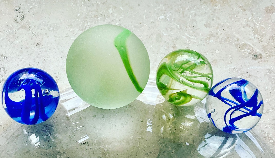
In this entry fee is our Iron Lake Challenge "Upper Austria" collector's medal and the green marble (20mm) of the Timeless Challenge .
However, you first have to circumnavigate the ten largest lakes in this beautiful federal state! Only then we will send you the well-deserved medal and marble! After all, you want to earn them and not get them as a gift.
With your registration fee you support my heart project of the Reforestation of one million trees worldwide!
How to register:
- Please click on the logo and you will be redirected to the registration page of our partner Digistore24
- You will now receive a registration confirmation
- Now you have to walk around the ten largest lakes in Upper Austria. As soon as you have completed the ten lakes, please send us an excerpt of your tracking as proof. You are also welcome to use our tool (see "Honor Roll" on this page)!
- After we have checked this, you will receive your well-deserved medal and marble. Easy, isn't it?
YOUR MEDAL AND YOUR MARBLE
If you have circumnavigated the ten largest lakes in Upper Austria on foot, then you have earned the beautiful Iron Lake Challenge "Upper Austria Edition" medal. This can be the first in your upcoming collection from the Iron Lake Challenge, or add to your existing one.
 |  |
LIFE SCORE POINTS AND THE TIMELESS MARBLE
The Iron Lake Challenge is part of our Timeless Challenge. Therefore, you deserve (in addition to the collector's medal) the marble in green (health/sport). This will also be sent to you. The marble will have a diameter of 20mm.

You earn with your performance ca. 20 Life Score Points. Diese werden sowohl der Ehrentafel Oberösterreich, als auch dem Life Lake Museum credited.
The ten largest lakes in Upper Austria
Oberösterreich hat große und wunderschöne Seen zu bieten. Deren Vielfalt lässt keine Wünsche offen. Eigentlich müsste in den „Top10“ Oberösterreichs auch der Wolfgangsee auftauchen, aber dieser liegt mit einem Teil seiner Fläche auch in Salzburg, weshalb er leider keine Berücksichtigung findet. Aber ihn kann man im Rahmen der Iron Lake Challenge Austria bewundern und zu Fuß umrunden. Aber auch ohne Wolfgangsee warten spannende und schöne Stunden an den Ufern der Seen Oberösterreichs auf Dich!
Lake Attersee
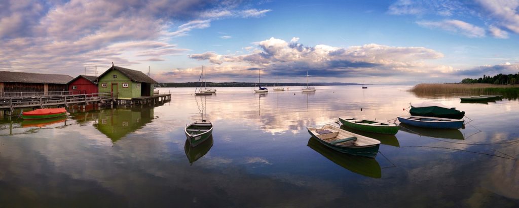
Lake Attersee with its 46.2 km2 not only the largest lake in Upper Austria, but also the largest lake in the whole of Austria. With its varied shores, this giant offers habitats for many animal and plant species and has been designated a Natura 2000 site since 2006. It is an important tourist destination and is very popular with hikers and water lovers. The circumnavigation on foot is a challenge, as you have around 46 kilometers to cover. However, you have two days to complete it.
Tour recommendations for circumnavigating Lake Attersee:
- Attersee cycle path (hiking is also possible)
- Long-distance hiking trail Attersee (our recommendation, even if it is further)
Lake Traunsee
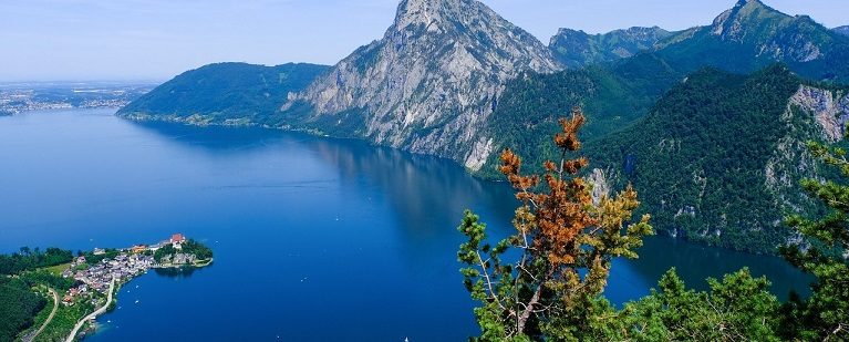
Lake Traunsee with its 24.4 km2 It is also a huge lake and, in our opinion, the most challenging lake in Upper Austria to circumnavigate on foot. Around 60 kilometers and 4000 meters of altitude await you. However, you also have two days for this. Please also read the information on circumnavigating Lake Traunsee that has been provided so far.
Tour suggestions around Lake Traunsee.
- Circumnavigation of Lake Traunsee along the route of the Traunsee Marathon
- René's tour around Lake Traunsee (many thanks for this)
ACHTUNG!!! Wer keine Erfahrungen am Berg hat, nicht trittsicher oder schwindelfrei ist wird auf dem Stück zwischen Karbach und Ebensee keine Freude haben. Wir können Dir aus Sicherheitsgründen von diesem Stück nur abraten!
Wer den Steig kurz vor oder nach dem Traunseemarathon (siehe Tourenbeschreibung) geht tut sich etwas leichter. Ab und zu ist er jedoch stellenweise recht schwer zu finden. Die sehr stark verblassten gelben Punkte muss man oft angestrengt suchen und sie sind auch nur spärlich vertreten. In Kombination mit der GPS-Karte ist dies jedoch gut möglich.
Eine weitere Möglichkeit die etwas einfacher sein dürfte ist es den Steig zu nehmen und dann nicht hinunter zum Schiffanleger Karbach und dann den Steig, sondern im großen Bogen irgendwo hinter dem Erlakogel und später über Rindsbach nach Ebensee falls es dort entsprechende Forstwege gibt.
Alternativ wäre die Möglichkeit mit dem Wassertaxi sicher auch eine Option um von Karbach nach Ebensee zu kommen.
Schifffahrt Loidl – Wassertaxi
Because of this challenge you have TWO DAYS for the circumnavigation!
Lake Mondsee
With its 13.8 km2 Wasserfläche bildet der Mondsee an seinem Südufer die natürliche Grenze zum Bundesland „Salzburg“, liegt jedoch auf dem Gebiet Oberösterreichs. Er ist nicht nur wunderschön zu wandern, sondern bietet auch viel Geschichte. So wurden vor einigen Jahren unter Wasser Reste von alten Siedlungen gefunden. Die Vielfalt an kulinarischen Angeboten rund um den See laden ein zu einer Rast und einer Jause. Um den Mondsee einmal komplett zu Fuß zu umrunden musst Du ca. 26 Kilometer zurücklegen.
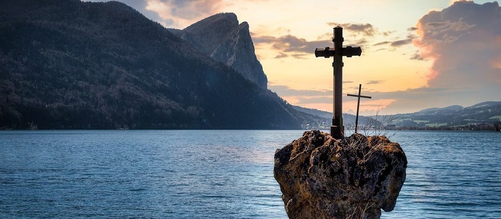
Tour suggestions around Mondsee:
Lake Hallstätter
The famous Lake Hallstatt, with a water surface area of approx. 8.6 km2 quite imposing and requires a circumnavigation of approx. 23 kilometers. It is located at the northern foot of the Dachstein massif. On the western shore is the town center of Hallstatt, which is world-famous for its beautiful buildings and excellent cuisine.
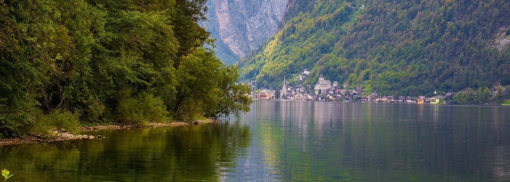
Tour suggestions around Lake Hallstatt:
- Circumnavigation of Lake Hallstatt on the official website
- Circumnavigation of the Halstätter See (Alltrails)
Lake Irrsee (Lake Zeller)
The approx. 3.6 km2 The large Irrsee, also known as Zeller See, lies to the north of Mondsee and is the warmest lake in the Salzkammergut. Beautiful shores with moors, reed beds and wet meadows are protected and it should be a matter of course not to leave the paths. Due to its excellent water quality and warmth, it is popular with water sports enthusiasts as well as hikers. To walk around the entire Irrsee, you have to cover a distance of around 14 kilometers.

Tour suggestions for circumnavigating the Irrsee:
Lake Almsee
The approx. 0.85 km2 Almsee is a beautiful mountain lake whose shores are protected. Its intact belt of vegetation is home to many animal species, especially birds. It should therefore go without saying (as with all lakes) that you should not leave the paths. A circumnavigation of approx. 7 kilometers is easily doable.

Tour suggestions for circumnavigating the Almsee:
Lake Gosau
The approx. 0.58 km2 große „Vordere Gosausee“ ist ein Bergsee am Nordfuß des Dachsteinmassivs und liegt auf 933 m ü.n. Er ist wegen seiner schönen Lage ein beliebtes Ausflugsziel, sowohl bei Wassersportlern als auch bei Wanderern. Der Rundweg führt über ca. 5 Kilometern an dem Ufer entlang und ist eine Wohltat für die Seele.
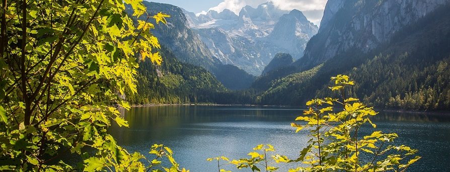
Route recommendation for circumnavigating the Vorderer Gosausee:
Lake Offensee
The approx. 0.54 km2 large Offensee is a romantic mountain lake in the Upper Austrian part of the Salzkammergut, at the northern foot of the Totes Gebirge. Its shores are a nature reserve and are home to numerous animal and plant species. A walk around the lake on foot will inspire you along the approx. 4-kilometer shoreline.
Tour recommendations for circumnavigating the Offensee:
Lake Schwarzensee
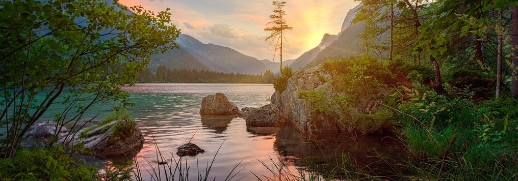
The approx. 0.48 km2 The large Schwarzensee is also a mountain lake in the municipality of St. Wolfgang im Salzkammergut, at the eastern foot of the Schafberg and lies at 716 m above sea level. It is ideal for hikes, also for families. The circular trail is approx. 4 kilometers long.
Tour recommendations for circumnavigating the Schwarzensee:
Lake Langbathsee
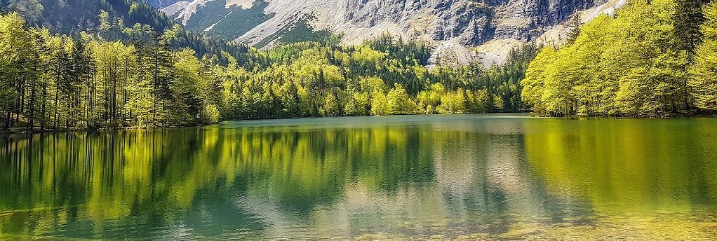
The approx. 0.33 km2 Vordere Langbathsee is a beautiful mountain lake in the Upper Austrian part of the Salzkammergut in the municipality of Ebensee am Traunsee, at the northern foot of the Höllengebirge mountains and lies at an altitude of 664 m. A forest road leads around the lake, which is closed to public traffic. You need to plan approx. 3 kilometers to walk around the lake.
Tour recommendations for circumnavigating the Vorderer Langbathsee:
THE IRON LAKE CHALLENGE IN SOCIAL MEDIA
Join our forum
Exchange ideas in our community! Our forum for experiences, reports, questions and more

HASHTAGS OF THE IRON LAKE CHALLENGE
We would be happy if you share pictures, videos and your experiences around the Iron Lake Challenge with others. For this purpose we provide you with the following hashtags:
- #ironlakechallenge
- #ironlakechallengeoberoesterreich
- #timelesschallenge
The IRON LAKE CHALLENGE ON FACEBOOK
Of course we also invite you to join our Facebook group "Iron Lake Challenge Discussion Board".
IRON LAKE CHALLENGE AUSTRIA HONOR ROLL
Here you can quickly and easily enter your results and upload the evidence (e.g. screen copy of your tracking). We check them and approve them. Then your result is saved and appears in the honor roll.
Instructions for the Challenge Tool
This is how our honor board works
- Register on our site
- Select the lake you are circling under "Lake"
- Enter the distance you have covered (in meters) under "Length (in m)"
- Enter the required time (in minutes) under "Time needed (in min).
- Enter the date of your circumnavigation under "date"
- Now you can upload the evidence (e.g. a screenshot of your tracking) under "Upload proof (optional)"
- Now all you have to do is SAVE!
- We check your round and release it. Then you will see your result in the ranking.
Points
Did you enjoy this Iron Lake Challenge? Then we recommend you...
The Iron Lake Challenge is more than just a one-off adventure. For many people, it is a part of their lives and an opportunity to get to know the world and experience unforgettable moments. That's why we recommend the other Iron Lake Challenges:

IMPRINT
15 comments
Leave a Reply
You must be logged in to post a comment.


Hallo Freunde, wir wollten an der Challenge teilnehmen. Meine Kollegin ist 62 und ich bin 64, und wir sind beide nicht mehr schwindelfrei. Dann habt ihr den Traunsee ausgewählt, wo man eigentlich ein Alpinist sein muss und kein Wanderer. Was habt ihr euch dabei gedacht? Mit freundlichen Grüßen, Hans-Peter Hauer
Lieber Hans-Peter,
wir werden eine Alternative für den Traunsee schaffen. Wir schließen zu viele Menschen aus, nur wegen der Länge und der Kletterpassage des Traunsees. Deshalb werden wir den elft- und zwölftgrößten See Oberösterreichs als Alternative einführen. Bitte gib mir noch ein paar Tage, dann kann ich das realisieren.
Viele Grüße ins schöne Österreich,
Uwe
Sg. Veranstalter der Challege!!!
Tolle Sache, die Umrundung der 10 Seen!! Leider wieder es sehr vielen Teilnehmern nicht möglich sein den Traunsee zu umrunden!! Mein Partner und ich ( 62 und 64 Jahre alt) würden sehr gerne teilnehmen, allerdings ist der Traunsee ein Problem!!! Dazu müsste man ein Alpinist sein, ansonsten schwer zu bewältigen!!! Mein Vorschlag wäre ev. einen 11. und 12. See als Alternative vorzuschlagen!!!
Mit freundlichen Grüßen
Christine Rechberger
Liebe Christine,
vielen Dank für Deinen Vorschlag. Ich habe mir das gestern lange durch den Kopf gehen lassen und ich werde Deinem Vorschlag folgen und zwei Seen (Elft- und Zwölftgrößter See Oberösterreichs) als Alternative für den Traunsee vorschlagen. Ich kann mir gut vorstellen, dass der anspruchsvolle Traunsee mit seinen Kletterpassagen die Barriere für viele Menschen zu hoch ansetzt. Und das will ich nicht.
Viele liebe Grüße ins schöne Österreich,
Uwe
Hallo, wann wird der 11. Und 12. Größte See hinzugefügt? Würden auch gerne mitmachen, aber nur bei alternativen die nicht zu extrem sind.
Danke
Liebe Tanja,
leider sind die Seen in Oberösterreich zu klein, dass wir eine „OÖ25“ machen könnten. ABER!
Bitte gib mir noch zwei Wochen Zeit, dann habe ich genau das Richtige für Dich.
Viele liebe Grüße,
Uwe
Hallo!
Wir finden die Idee toll und freuen uns, dass es für den Traunsee bald Alternativen gibt!
Eine Frage: Gibt es einen vorgegebenen Zeitrahmen in der die Umrundungen gemacht werden müssen?
Olivia und Klaus
Hallo Olivia,
ihr könnt euch so viel Zeit lassen wie ihr möchtet. Wir haben ganz bewusst auf eine zeitliche Einschränkung verzichtet.
L.G.
Uwe
Der Attersee kann nur größtenteils auf Straßen mit rund 50 km bewältigt werden, wovon man selbst Radsportlern wegen des immenses Autoverkehrs abrät. Wandertechnisch muß man rund 70 km einplanen. Die große vorgeschlagene Runde mit 90 km muß nicht unbedingt sein. Mein Tip über komoot planen.
Gruß Stefan
Hallo!
Ich wollte mal nachfragen ob es bereits eine Alternative gibt für den Traunsee?
Hallo Andrea,
das im Text angegebene Wassertaxi ab Karbach ist keine Alternative für Dich? https://rockyourgoal.de/iron-lake-challenge/austria/oberoesterreich/#Traunsee
L.G.
Uwe
Danke für den Hinweis, ich werd mir das mal genauer ansehen 🙂
Servus Uwe, auch hier muss bei mir ein See irgendwie doppelt drinnen sein. Eigentlich hab ich 5 von 10, laut deiner Liste aber 6 😉
LG Anita
Hallo Uwe, hab heute 2 Seen hochgeladen. Kommt hier irgendwo eine Bestätigung?
Lg
Hallo Andreas,
eine Bestätigung gibt es nicht, aber Du siehst sie nach meiner Freigabe (welche bereits erfolgt ist) in der Ehrentabelle Deiner Challenge.
Viele Grüße,
Uwe